Spaces:
No application file

No application file
File size: 1,776 Bytes
7cf0baa 4b1b507 7cf0baa 4b1b507 7cf0baa 4b1b507 7cf0baa e3c69f6 988f851 dcdf407 988f851 8cae914 988f851 40a6632 254dbfc 8fa4acc 88e1ad1 254dbfc dcdf407 254dbfc b57d455 20019f4 b57d455 |
1 2 3 4 5 6 7 8 9 10 11 12 13 14 15 16 17 18 19 20 21 22 23 24 25 26 27 28 29 30 31 32 33 |
---
title: README
emoji: 🌖
colorFrom: blue
colorTo: green
sdk: streamlit
pinned: false
license: apache-2.0
---
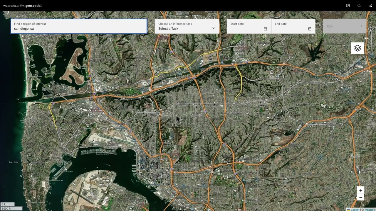
NASA and IBM have teamed up to create an AI Foundation Model for Earth
Observations, using large-scale satellite and remote sensing data, including
the Harmonized Landsat and Sentinel-2 ([HLS](https://hls.gsfc.nasa.gov/)) data. By embracing the principles of
open AI and open science, both organizations are actively contributing to the
global mission of promoting knowledge sharing and accelerating innovations in
addressing critical environmental challenges. With Hugging Face's platform,
they simplify geospatial model training and deployment, making it accessible
for open science users, startups, and enterprises on multi-cloud AI platforms
like [watsonx](https://www.ibm.com/watsonx). Additionally, Hugging Face enables
easy sharing of [Prithvi](https://huggingface.co/ibm-nasa-geospatial/Prithvi-100M) pipelines
within the community, fostering global collaboration and engagement.
<a rel="noopener nofollow" class="block overflow-hidden" href="https://youtu.be/9bU9eJxFwWc">
<img class="w-full h-48 object-cover mb-2 bg-gray-300 rounded-md" src="https://img.youtube.com/vi/9bU9eJxFwWc/maxresdefault.jpg" alt="Watch Prithvi end to end demo" width="240" height="180" border="10" />
<div class="underline">Watch Prithvi end to end demo</div>
</a>
<!--
[](https://youtu.be/9bU9eJxFwWc)
-->
More information: [NASA Blog post](), [NASA Veda system](https://www.earthdata.nasa.gov/esds/veda), [IBM Blog post](https://research.ibm.com/blog/geospatial-models-nasa-ai), [EIS](https://www.ibm.com/products/environmental-intelligence-suite)
|